CryoSat-2
🇪🇺
Mission Profile
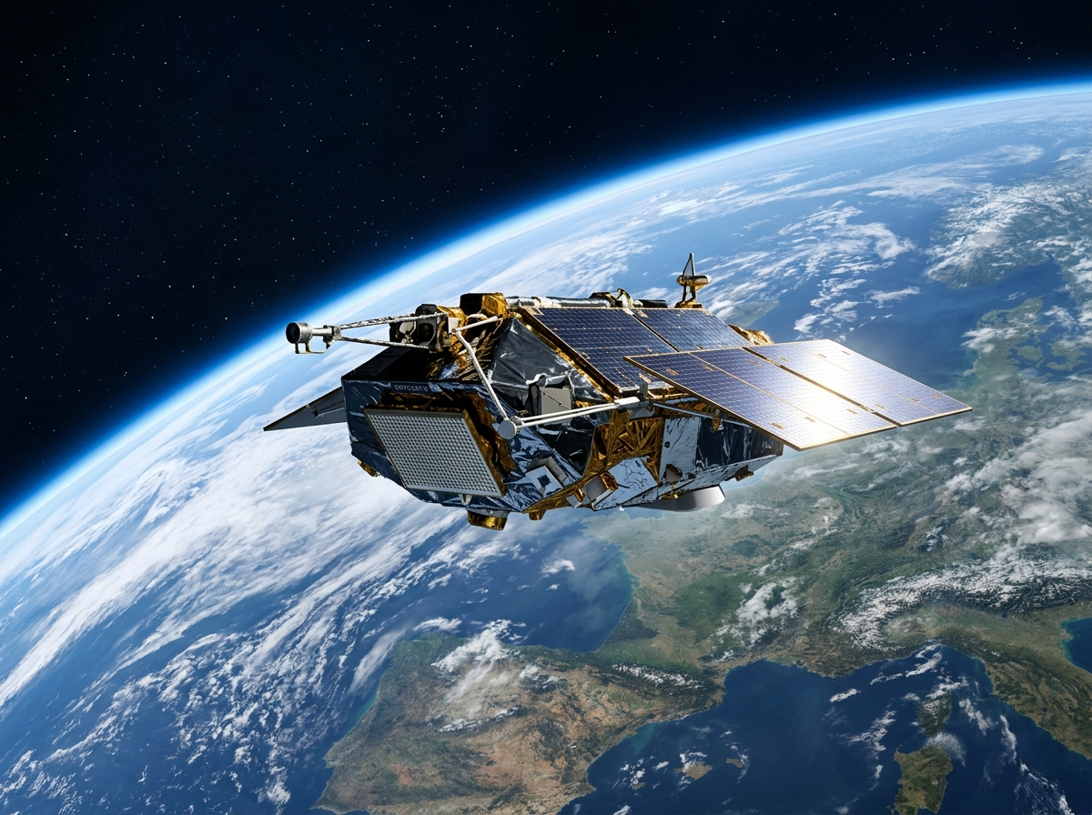
CryoSat-2 is an ESA Earth Explorer mission launched on 8 April 2010 aboard a Dnepr rocket from Russia, designed to monitor changes in the thickness of polar sea ice and the elevation of the Greenland and Antarctic ice sheets with unprecedented precision to quantify their contribution to global sea level rise. Its SIRAL (SAR Interferometric Radar Altimeter) instrument uses delay-Doppler and interferometric SAR radar altimetry modes to measure surface elevation at 250-meter along-track resolution, far superior to conventional nadir-looking altimeters. CryoSat-2 replaced the original CryoSat that was lost in a launch failure in 2005, and has operated for over 15 years accumulating the most comprehensive record of polar ice loss ever measured from space. Its measurements have confirmed accelerating ice sheet mass loss from both Greenland and Antarctica, directly attributable to climate warming.
MOC Builds
No MOC builds cataloged yet for this subject.